Southland District, 1882
Item — map-box: 5
Identifier: S00800021
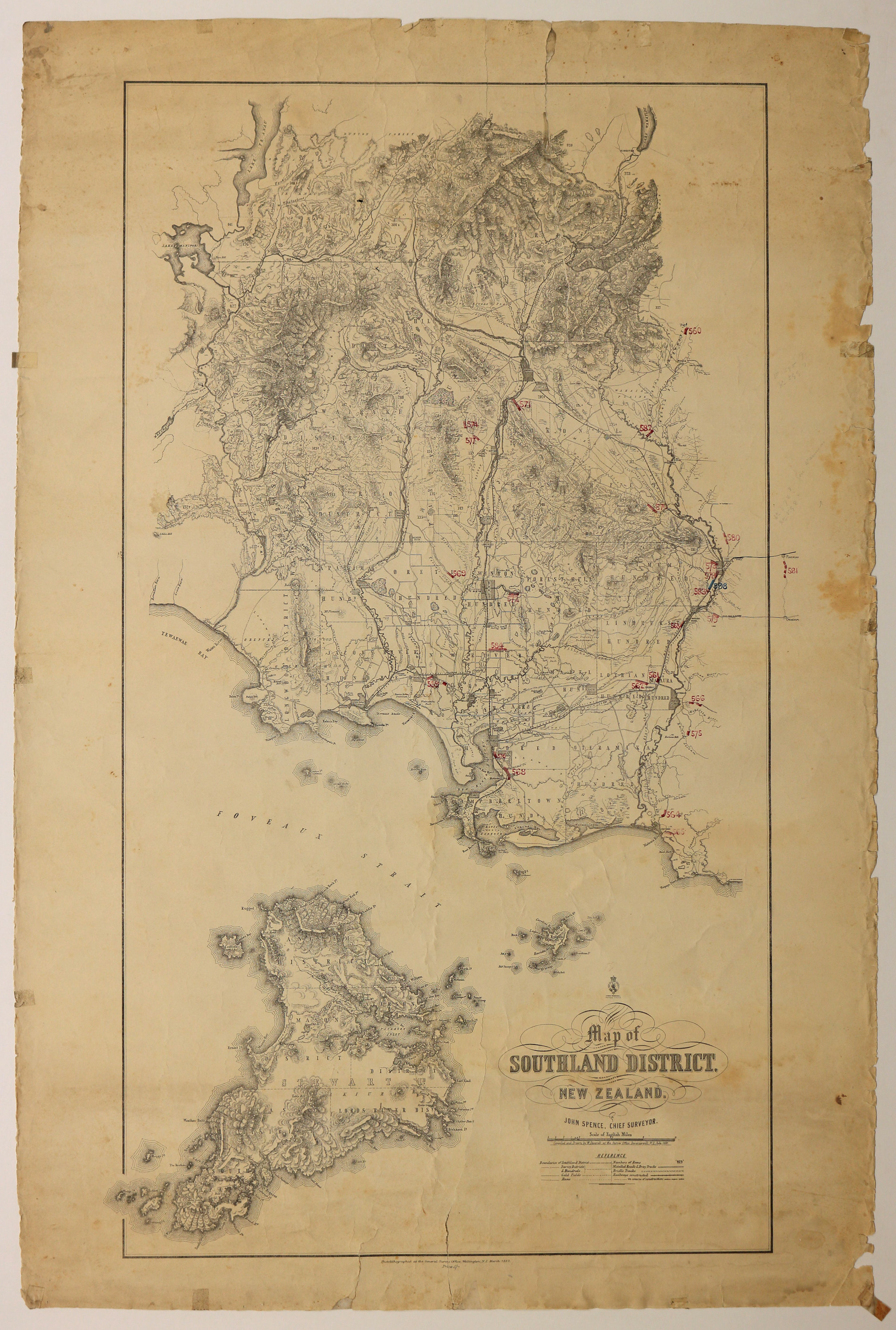
Southland District
Dates
- 1882
Conditions Governing Use
This item has no known copyright restrictions. Please acknowledge Invercargill City Libraries and
Archives, Ref: A0010 S00800021, when re-using this image.
Extent
From the Series: 82 maps/plans (Box 4, Drawers West 5 b, c and e, Map-boxes 5 - 10, Frame: Research Room Wall, Digital Archive.)
Language of Materials
English
Existence and Location of Copies
To obtain a high resolution copy of this image please contact the Archive.
Materials Specific Details
Pencil and ink annotations.
Area covered is from Dunton Forrest, Lake Te Anau and Lake Wakatipu down to Stewart Island.
Conmplied and drawn by W. Deverell in July 1881. Photolithographed at hte General Survey Office 1882.
Dimensions
1023mm x 680mm
Repository Details
Part of the Invercargill City Council Archives Repository
Contact:
50 Dee Street
Private Bag 90111
Invercargill Southland 9810 New Zealand
archives@icc.govt.nz
50 Dee Street
Private Bag 90111
Invercargill Southland 9810 New Zealand
archives@icc.govt.nz
