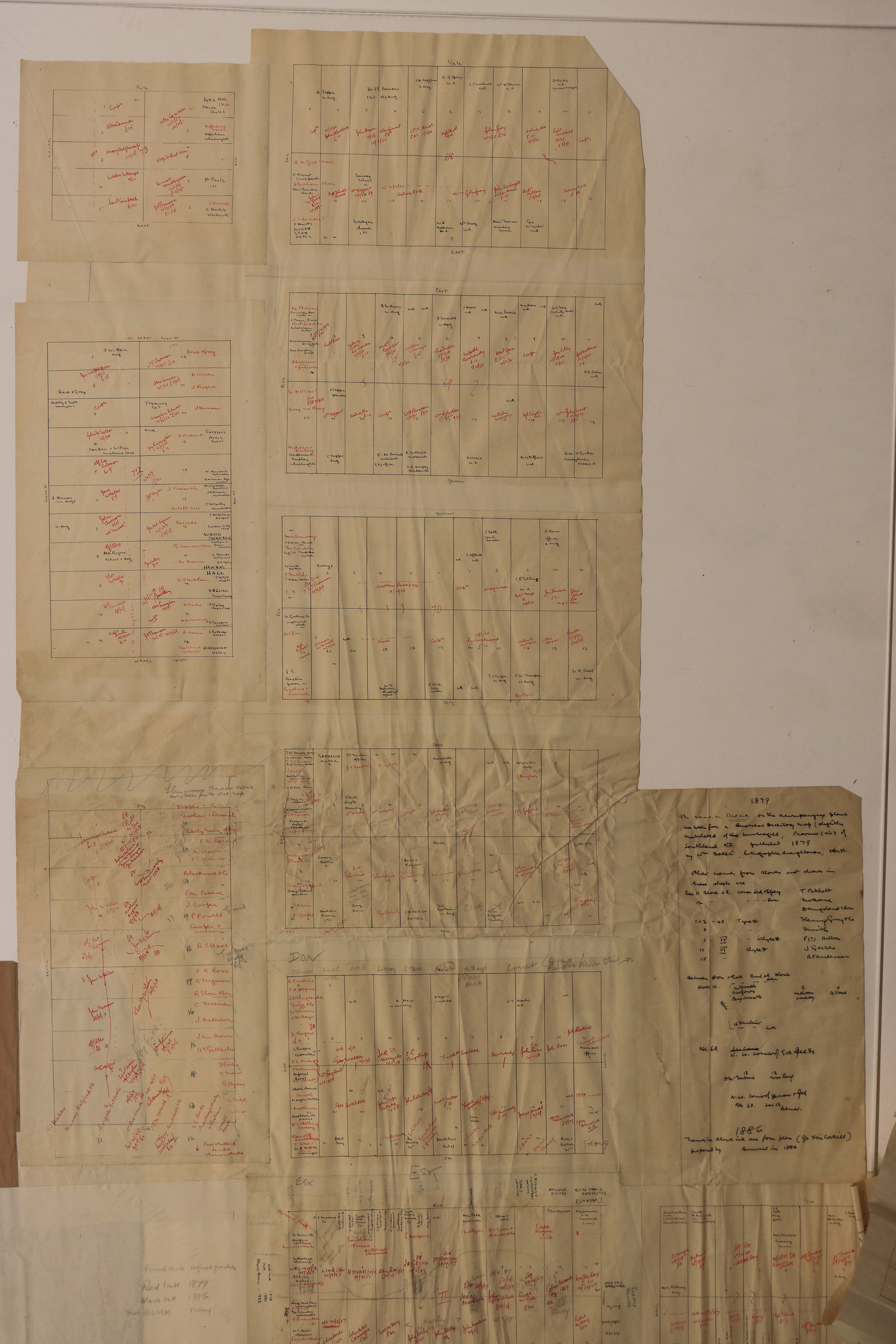
Invercargill City Block Plans, 1879 and 1886, c.1989
Component — map-box: 7
Identifier: S00100002_an
Scope and Contents
Hand-drawn block plans of Invercargill along Tay and Dee Streets. Includes the block and section numbers alongside the names and dates of businesses and people.
Red ink indicates names from 1879, black ink from 1886, block lettering in pencil informal grants, and block lettering from 1989.
See Digital Material link for all three parts
See Digital Material link for all three parts
Dates
- c.1989
Conditions Governing Use
This item has no known copyright restrictions. Please reference Invercargill City Libraries and Archives A0001_S00100002_an when re-using this image.
Extent
From the Series: 33 maps/plans (Map-Boxes 1 - 8 and Drawer West 6 d)
Language of Materials
From the Item: English
Existence and Location of Copies
To obtain a high resolution copy of this image please contact the Archive.
Physical Description
Paper.
Dimensions
H 1360mm x W 1408mm
Content Notes
Various handwritten notes include:
1879 the names in Red Ink on the accompnaying plans are taken fromt a Business Directory map [?] of Invercargill Province (sic) of Southland NZ published 1879 by Wm Baker, lithographic draughtsman, Don St [?].
1886 Names in Black ink are from plan (c/o ?) prepared by Burwell in 1886.
1879 the names in Red Ink on the accompnaying plans are taken fromt a Business Directory map [?] of Invercargill Province (sic) of Southland NZ published 1879 by Wm Baker, lithographic draughtsman, Don St [?].
1886 Names in Black ink are from plan (c/o ?) prepared by Burwell in 1886.
Repository Details
Part of the Invercargill City Council Archives Repository
Contact:
50 Dee Street
Private Bag 90111
Invercargill Southland 9810 New Zealand
archives@icc.govt.nz
50 Dee Street
Private Bag 90111
Invercargill Southland 9810 New Zealand
archives@icc.govt.nz

