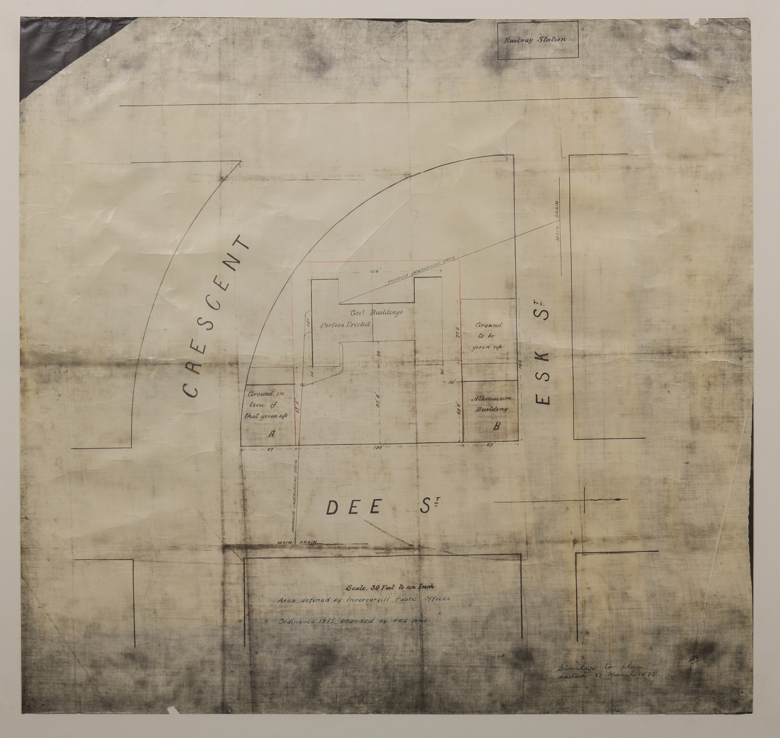
Area Defined by Invercargill Public Offices, c.1875
Item — map-box: 6
Identifier: S00800055
Scope and Contents
Block plan of the area bordered by Dee Street, Esk Street and the Crescent. Features Government Buildings, Athenaeum, and Railway Station.
Dates
- c.1875
Conditions Governing Use
This item has no known copyright restrictions. Please acknowledge Invercargill City Libraries and
Archives, Ref: A0010 S00800055, when re-using this image.
Extent
From the Series: 82 maps/plans (Box 4, Drawers West 5 b, c and e, Map-boxes 5 - 10, Frame: Research Room Wall, Digital Archive.)
Language of Materials
English
Existence and Location of Copies
To obtain a high resolution copy of this image please contact the Archive.
Physical Description
Gloss paper.
Dimensions
H 690mm x W 727mm
Content Note
Title Area defined by Invercargill Public Offices. Ordinance 1875 bounded by red line.
Scale 30 feet to an inch.
Note right hand corner: "Similar to plan dated 17 March 1875".
Scale 30 feet to an inch.
Note right hand corner: "Similar to plan dated 17 March 1875".
Repository Details
Part of the Invercargill City Council Archives Repository
Contact:
50 Dee Street
Private Bag 90111
Invercargill Southland 9810 New Zealand
archives@icc.govt.nz
50 Dee Street
Private Bag 90111
Invercargill Southland 9810 New Zealand
archives@icc.govt.nz

