Map of Invercargill Hundred and Part of New River Hundred
Digital Image
Identifier: D00100026
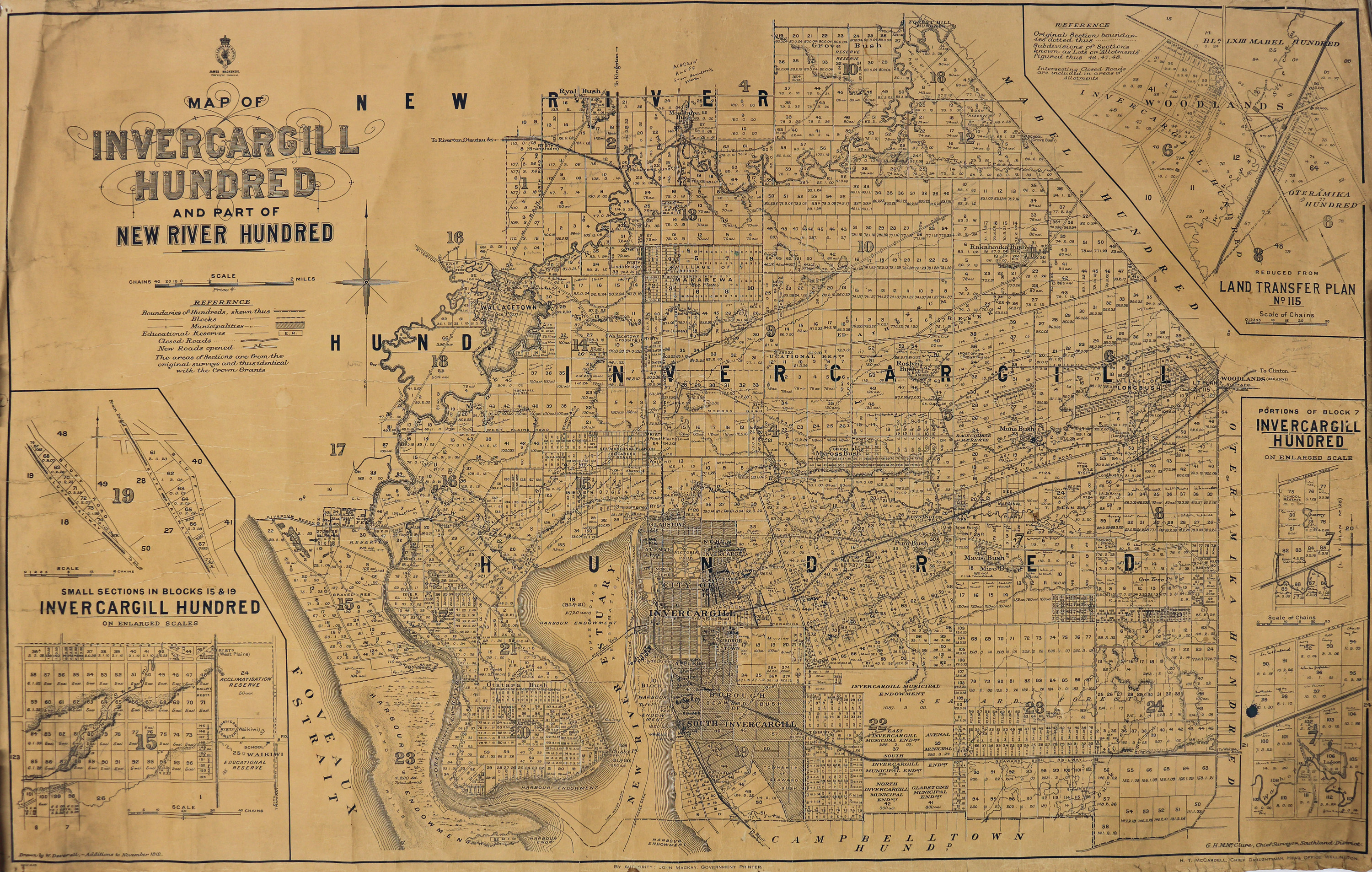
Map of Invercargill Hundred and Part of New River Hundred
Dates
- 1912
Creator
- New Zealand. Department of Lands and Survey (Publisher, Organization)
Summary
Map of the Invercargill Hundred, and part of the New River Hundred. Featuring inset map of Woodlands.
Conditions Governing Use
This item has no known copyright restrictions. Please acknowledge Invercargill City Libraries and Archives, Ref: A0001 S00100026, when re-using this image.
Extent
1 digital object : TIFF file.
Language of Materials
English
Existence and Location of Copies
To obtain a high resolution copy of this image please contact the Archive.
Physical Description
Paper on linen.
Creator
- New Zealand. Department of Lands and Survey (Publisher, Organization)
- Deverell, W. (Draftsman, Person)
Repository Details
Part of the Invercargill City Council Archives Repository
Contact:
50 Dee Street
Private Bag 90111
Invercargill Southland 9810 New Zealand
archives@icc.govt.nz
50 Dee Street
Private Bag 90111
Invercargill Southland 9810 New Zealand
archives@icc.govt.nz
